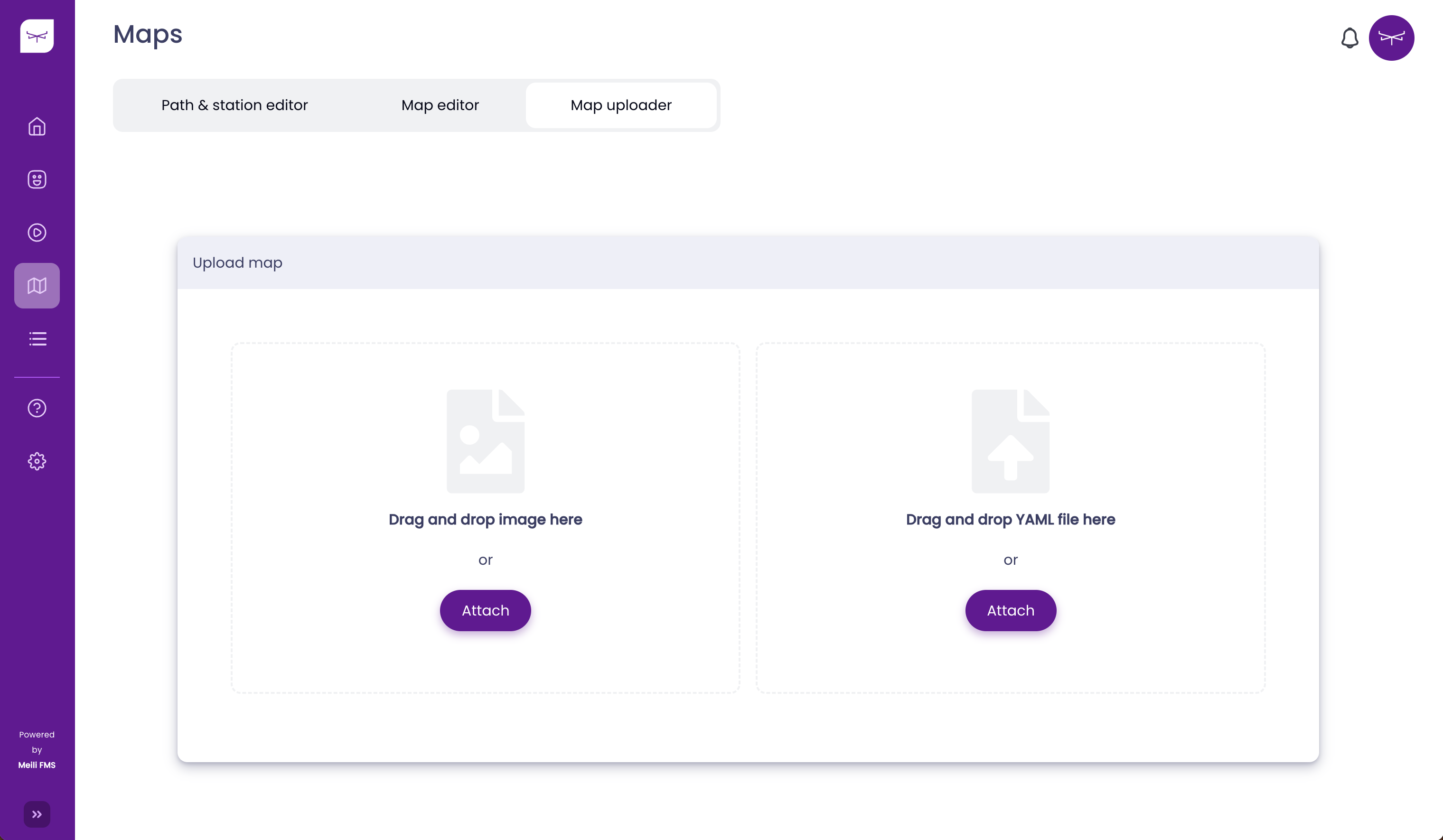
Uploading a Map#
In order to upload the map, it is necessary to upload two different files:
- Image → Image standard formats like PNG, PGM and JPEG
- Yaml → Relevant parameters of the occupancy grid map
Once both files are uploaded, you should see two “tick icons”:
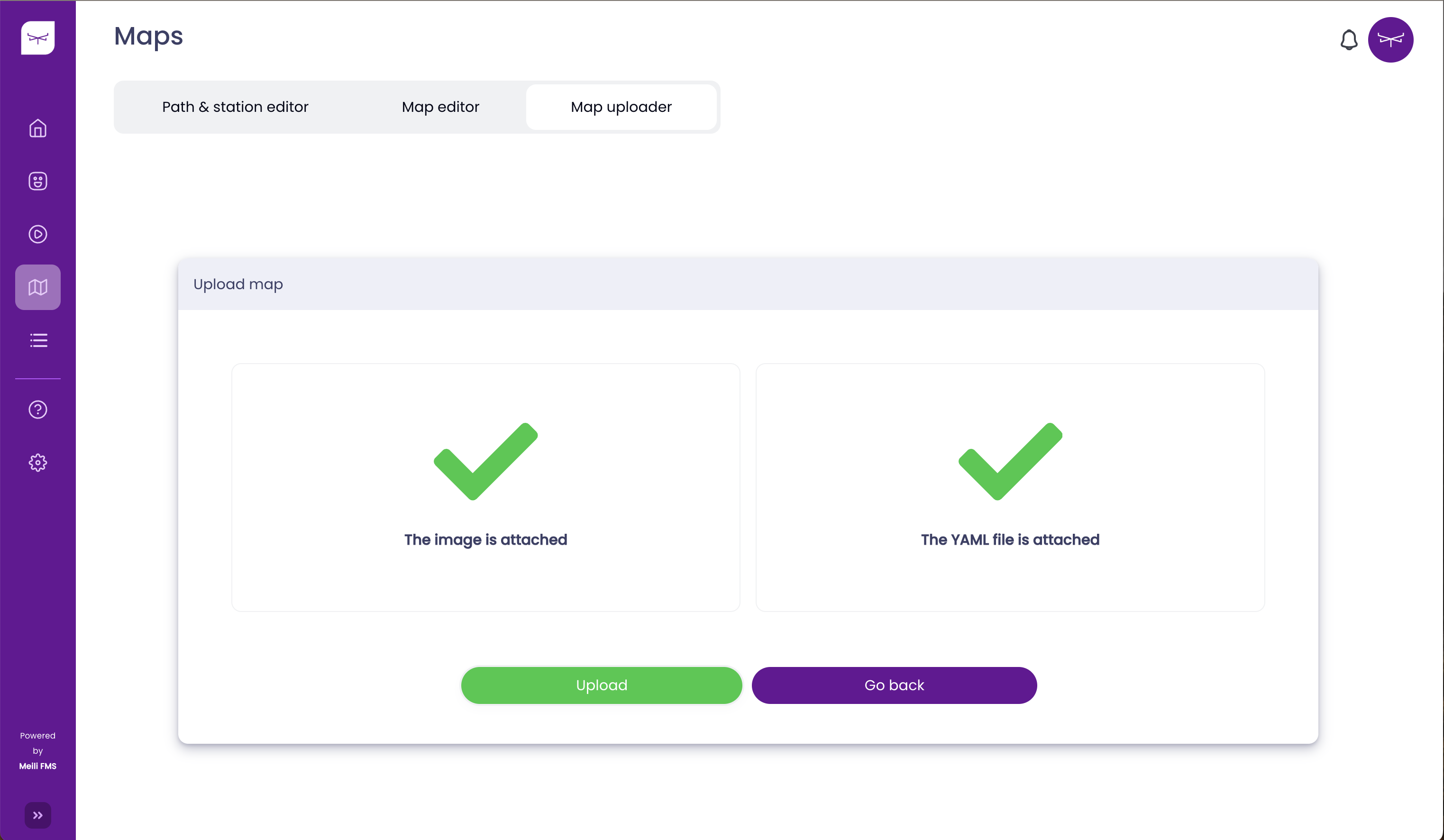
Then, click the Upload button, and the map will be uploaded. After a few seconds, you should be redirected to the Path & Station Editor page, as is shown below:
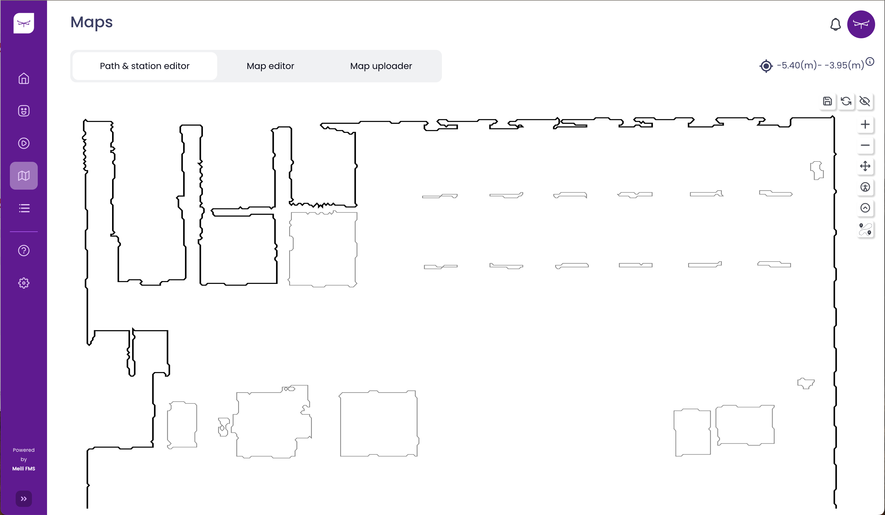
You are now ready to modify the maps using the Meili FMS web application. Go to Editing a Map.
For more information about the format accepted by Meili FMS, click here. If you want to download sample data, click here.