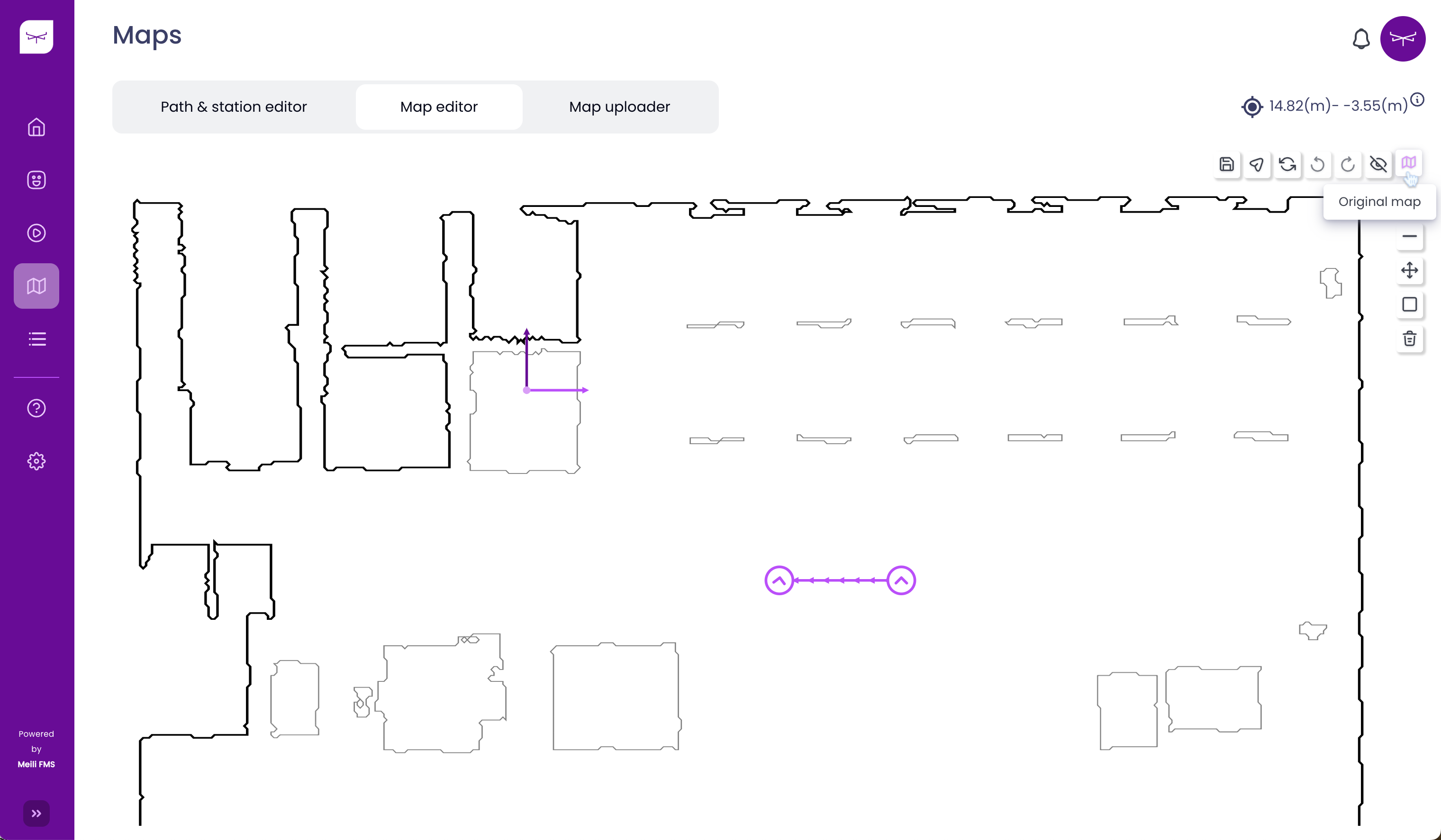
Map editor #
Adding obstacles to the map #
- Click on the “Original map” icon
- Click on “Add obstacles on map” in the toolbar

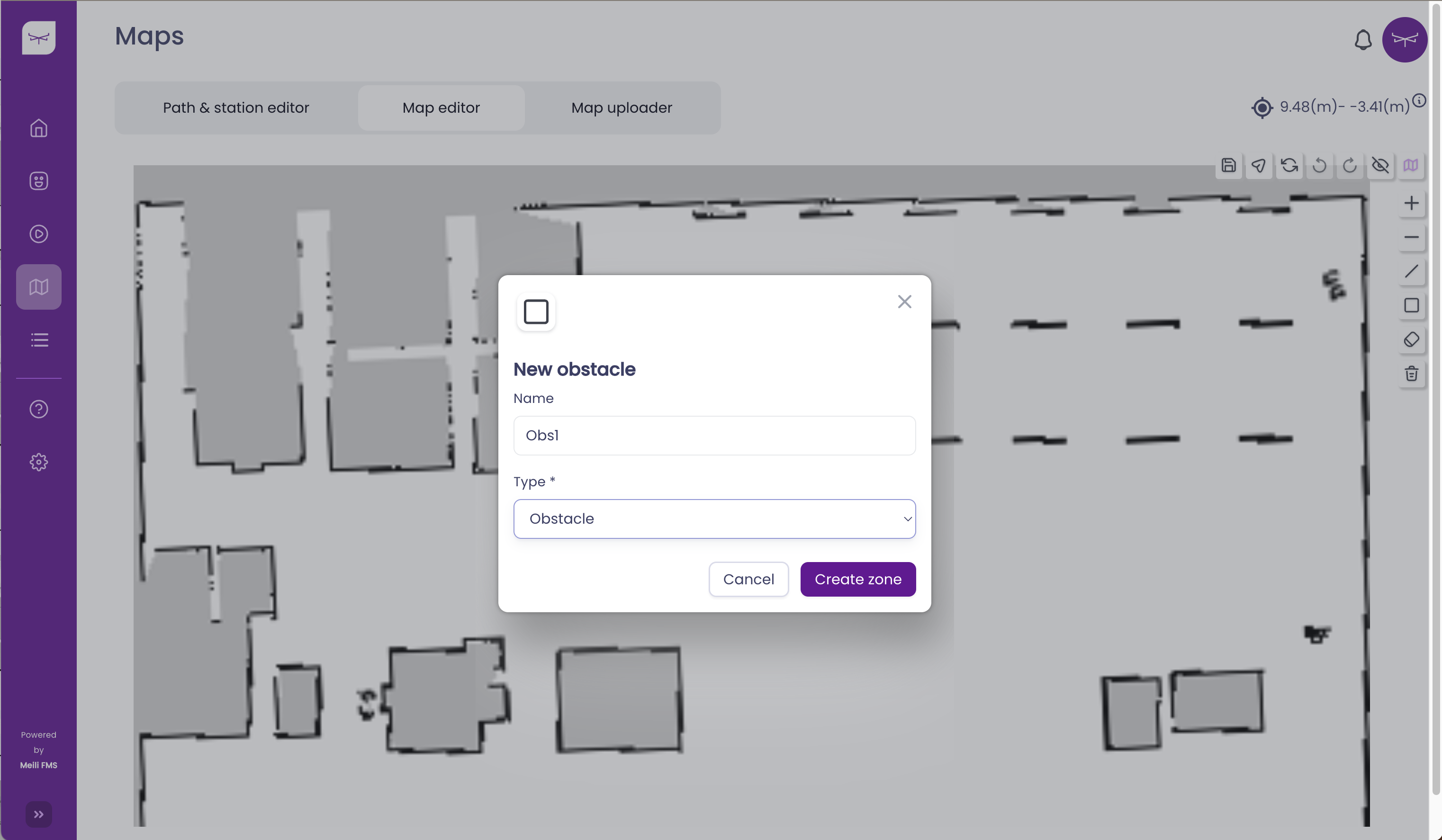
- Drag and drop the rectangle with the desired size

- Click on the save button

Erasing obstacles from the map #
- Select the eraser from the toolbar
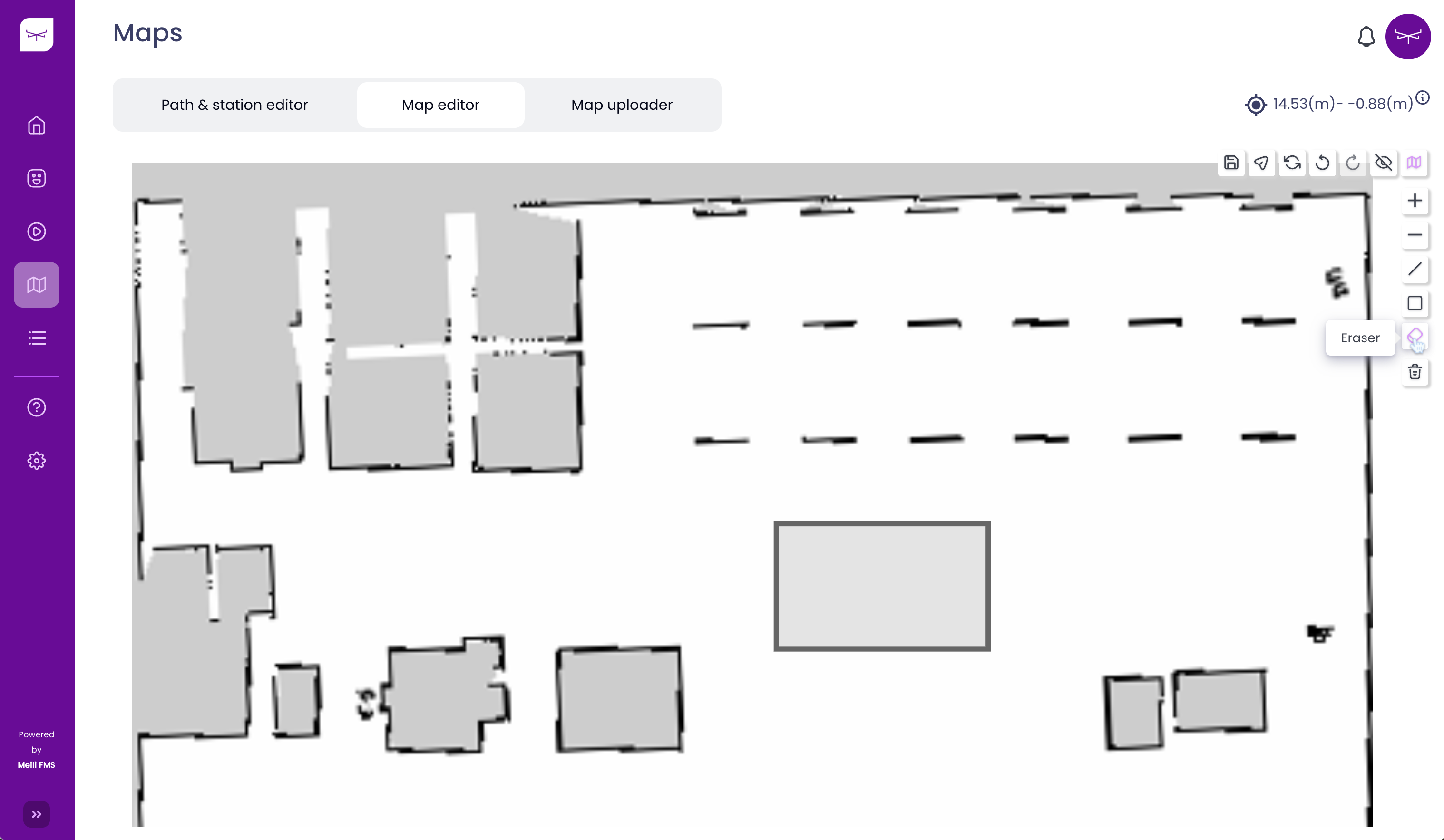
- Erase any obstacle from the map

- Click on the save button

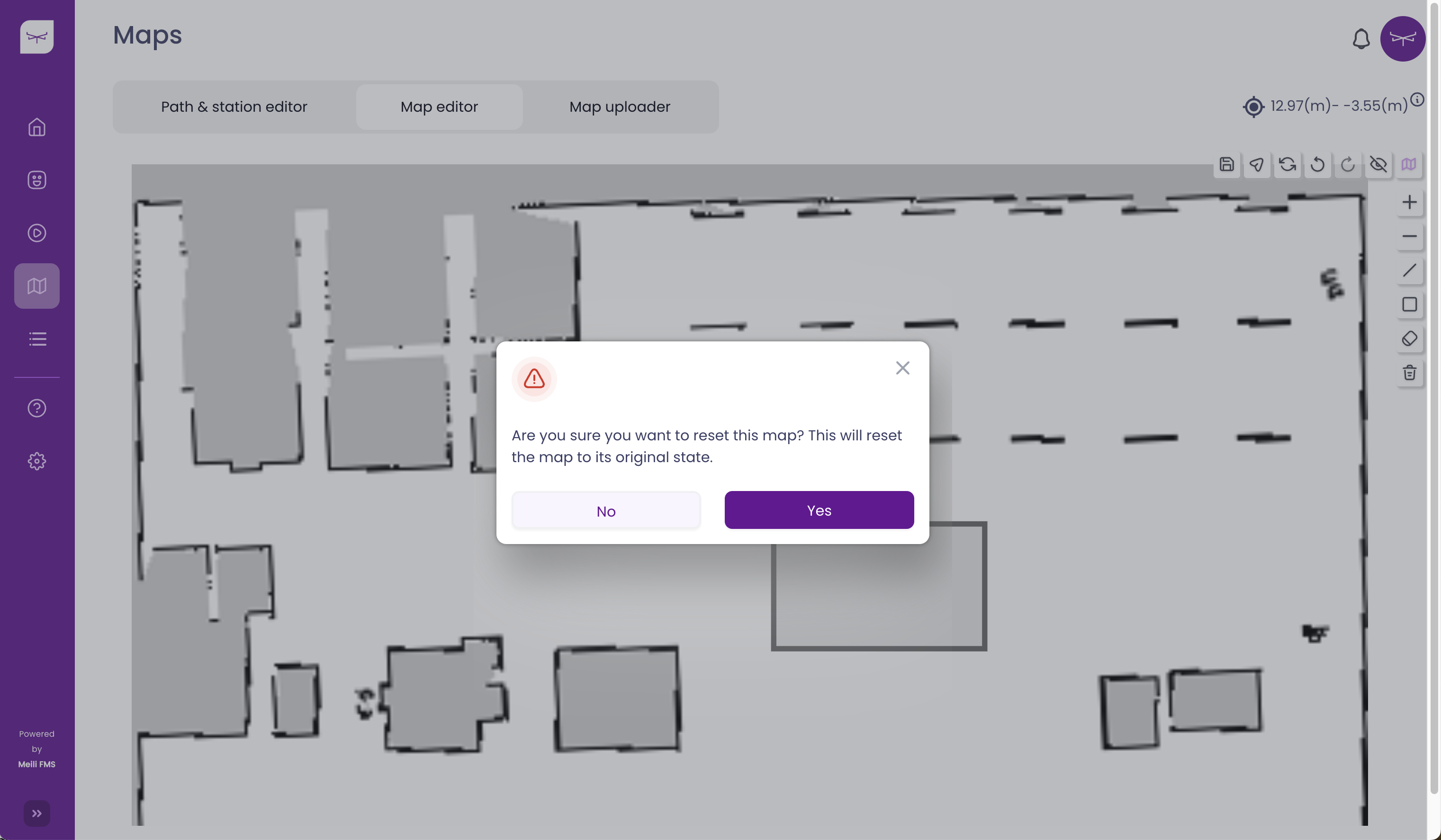
Clear map #
- To revert all changes and recover the original map, it is necessary to click on the “clear map” icon

- Click “yes”
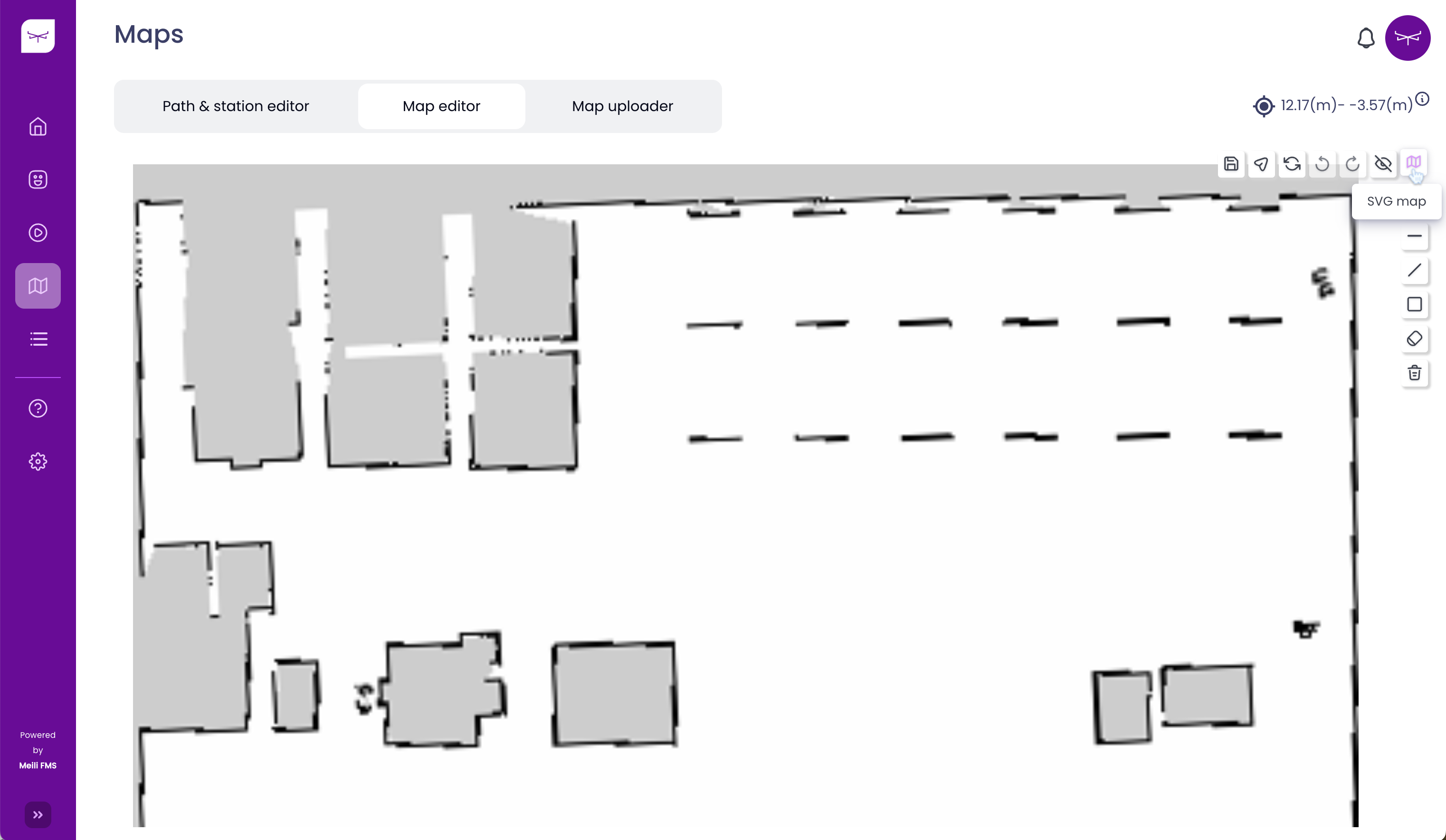
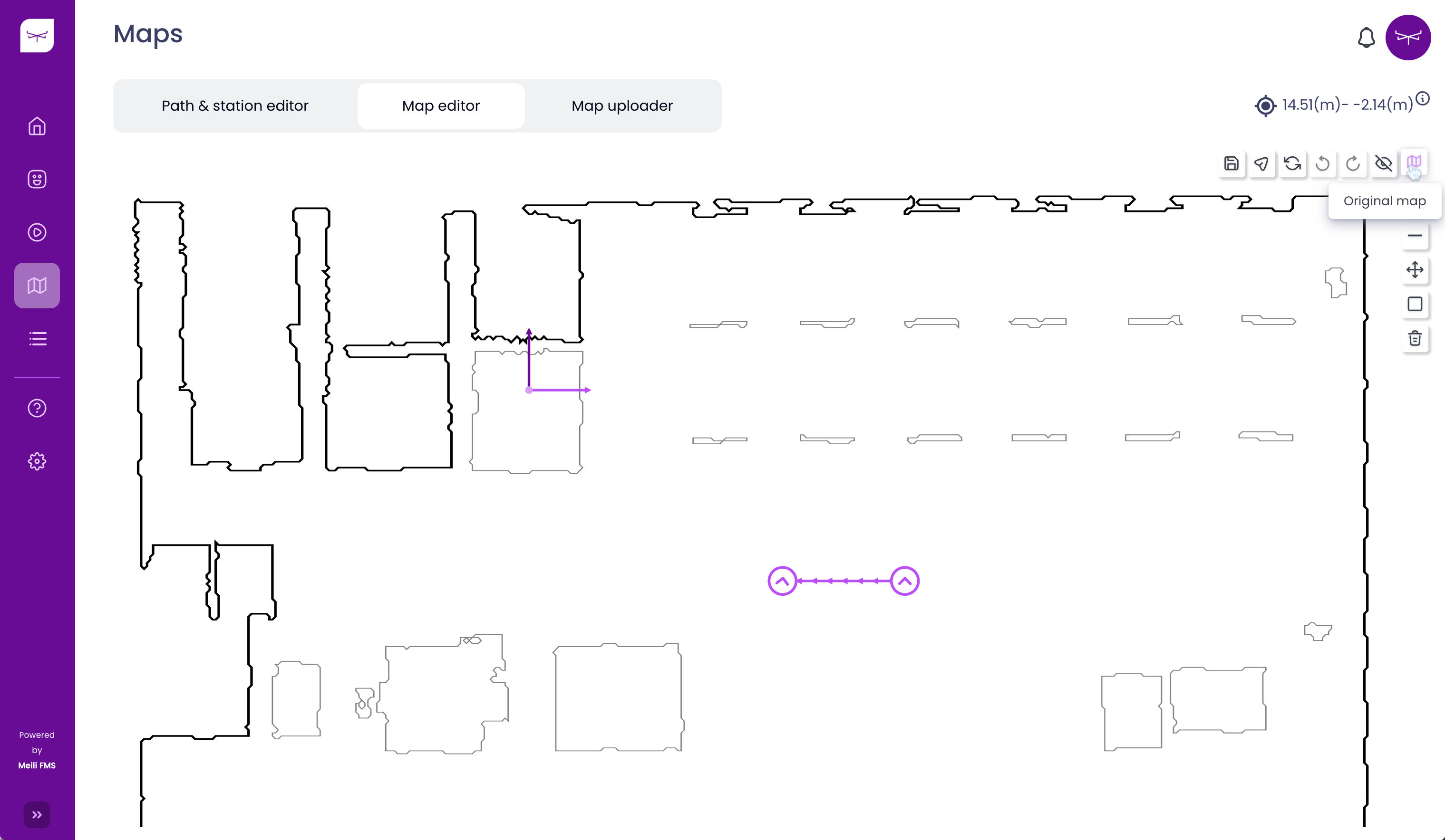
- The original map is restored:

Send map updates to the robot #
- Note
- Vehicles need to be connected using the Meili Agent in order to receive the map and update it automatically
In order to upload a map to the robots connected to Meili FMS, it is necessary to click the “Send map updates to the robot” button, as is shown in the picture below:

If everything goes well, you will see a green notification on the screen. Otherwise, you will receive a red notification saying that there are no connected vehicles.
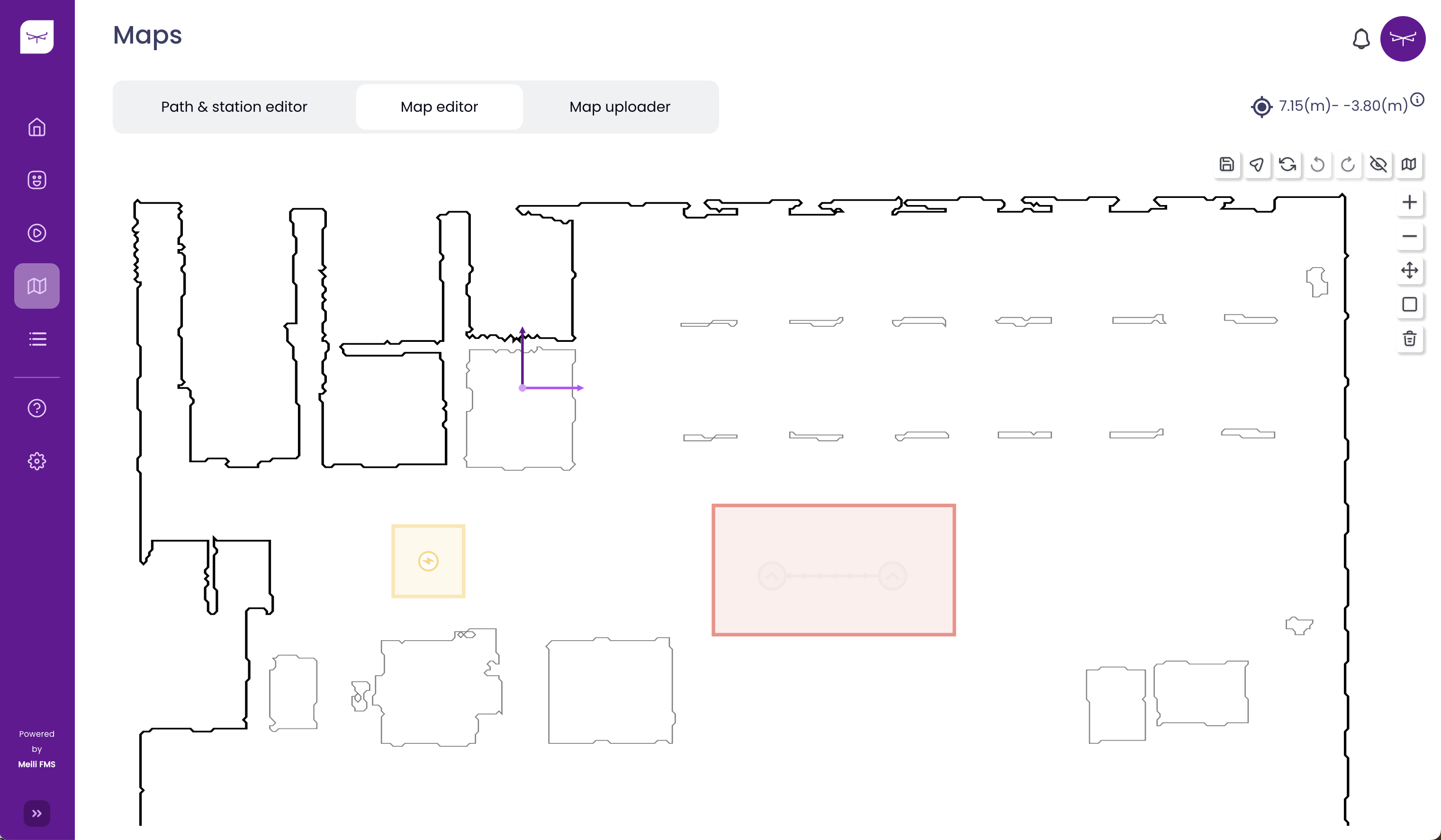
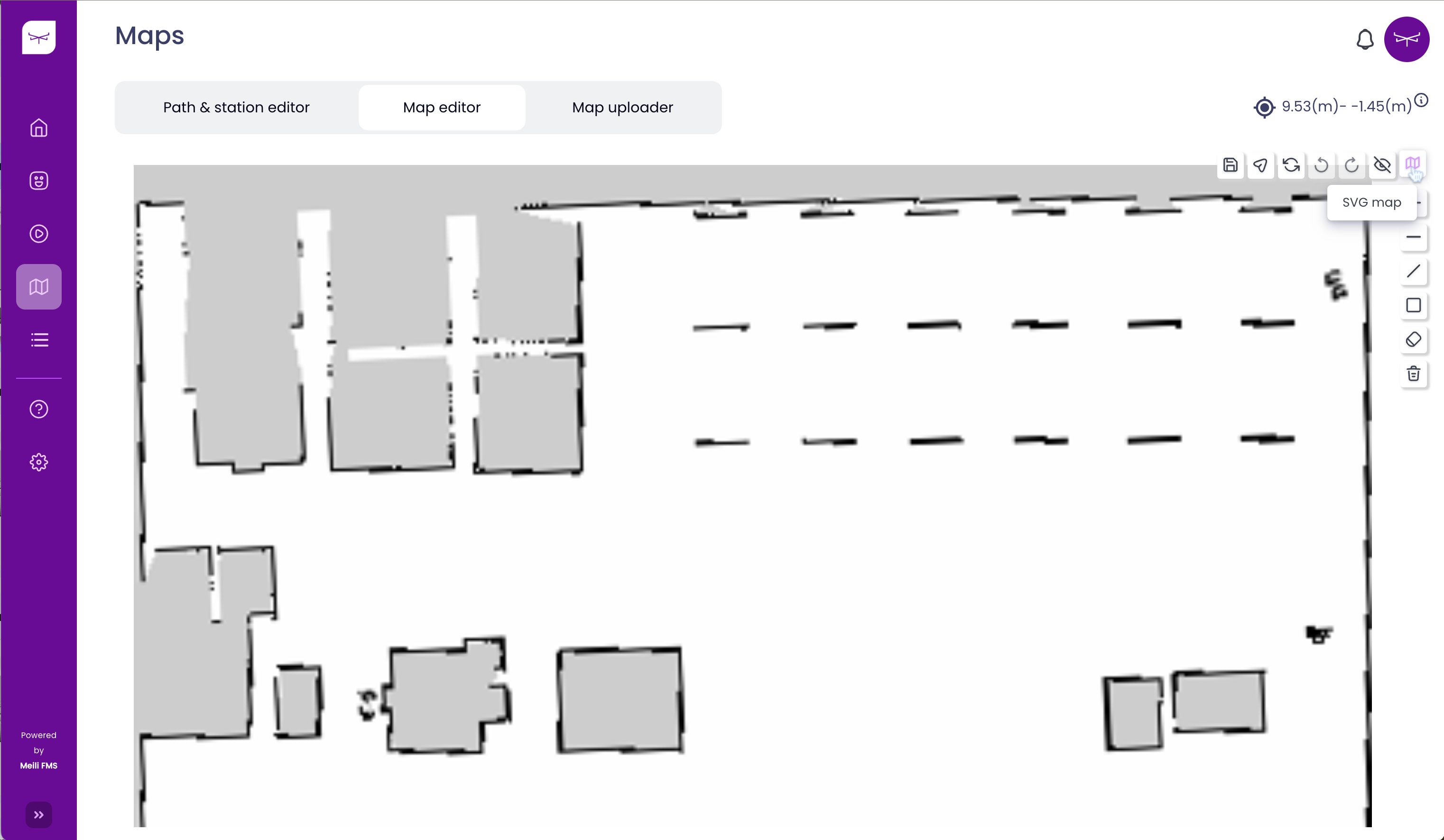
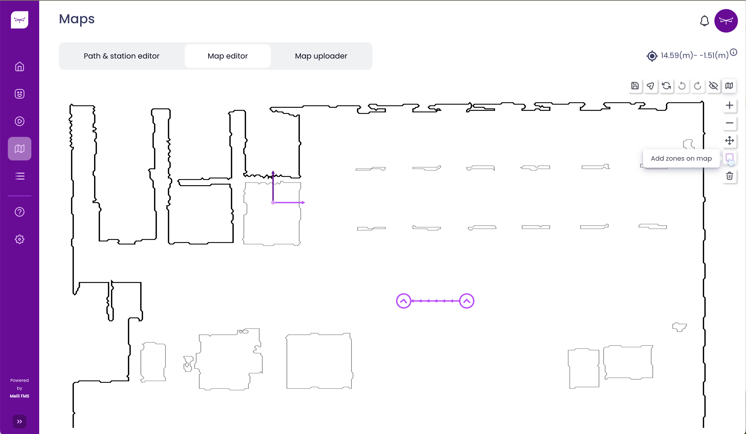
Adding zones to the map #
- Click on “SVG map”
- Click on “Add zones on the map”
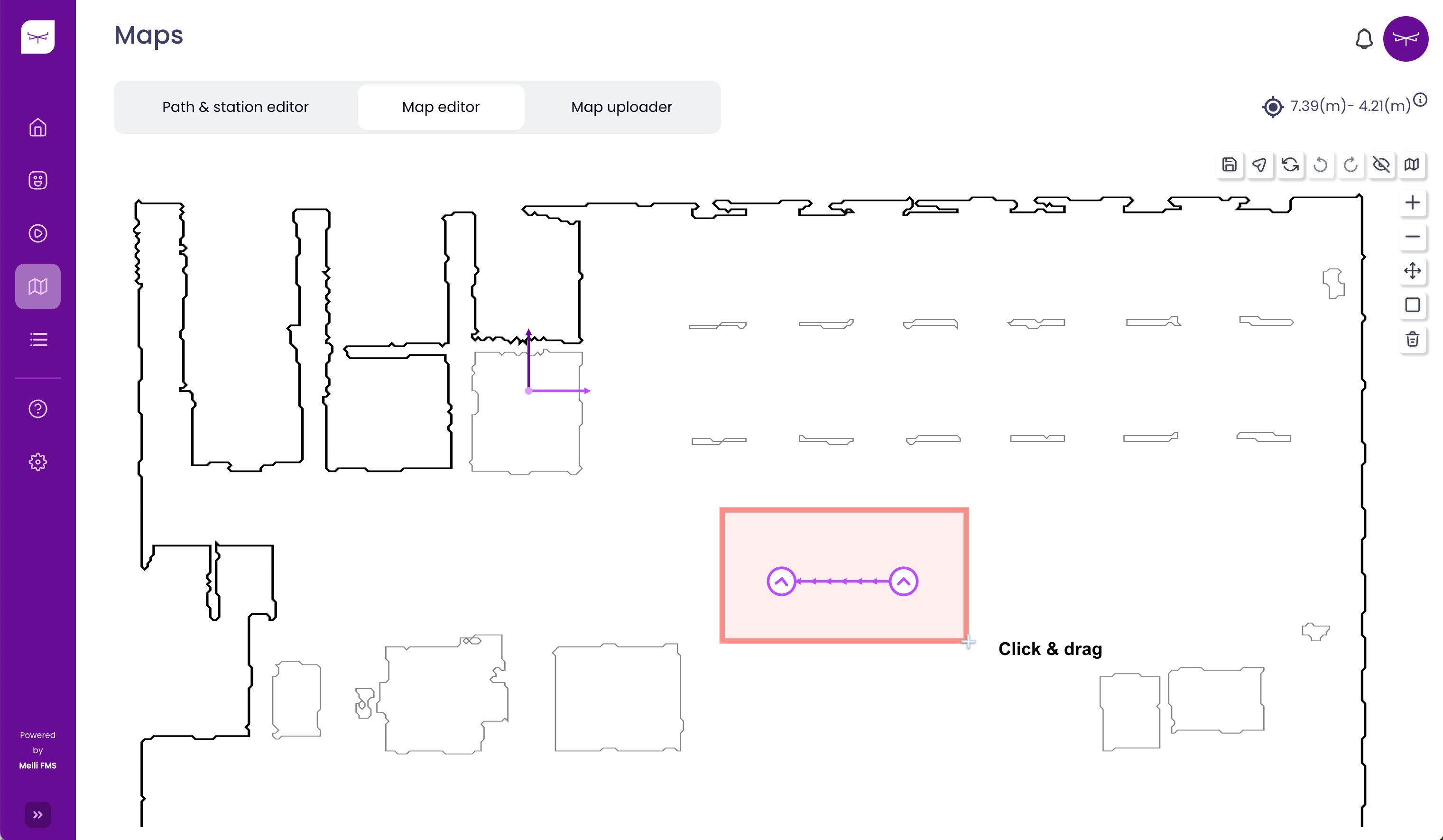
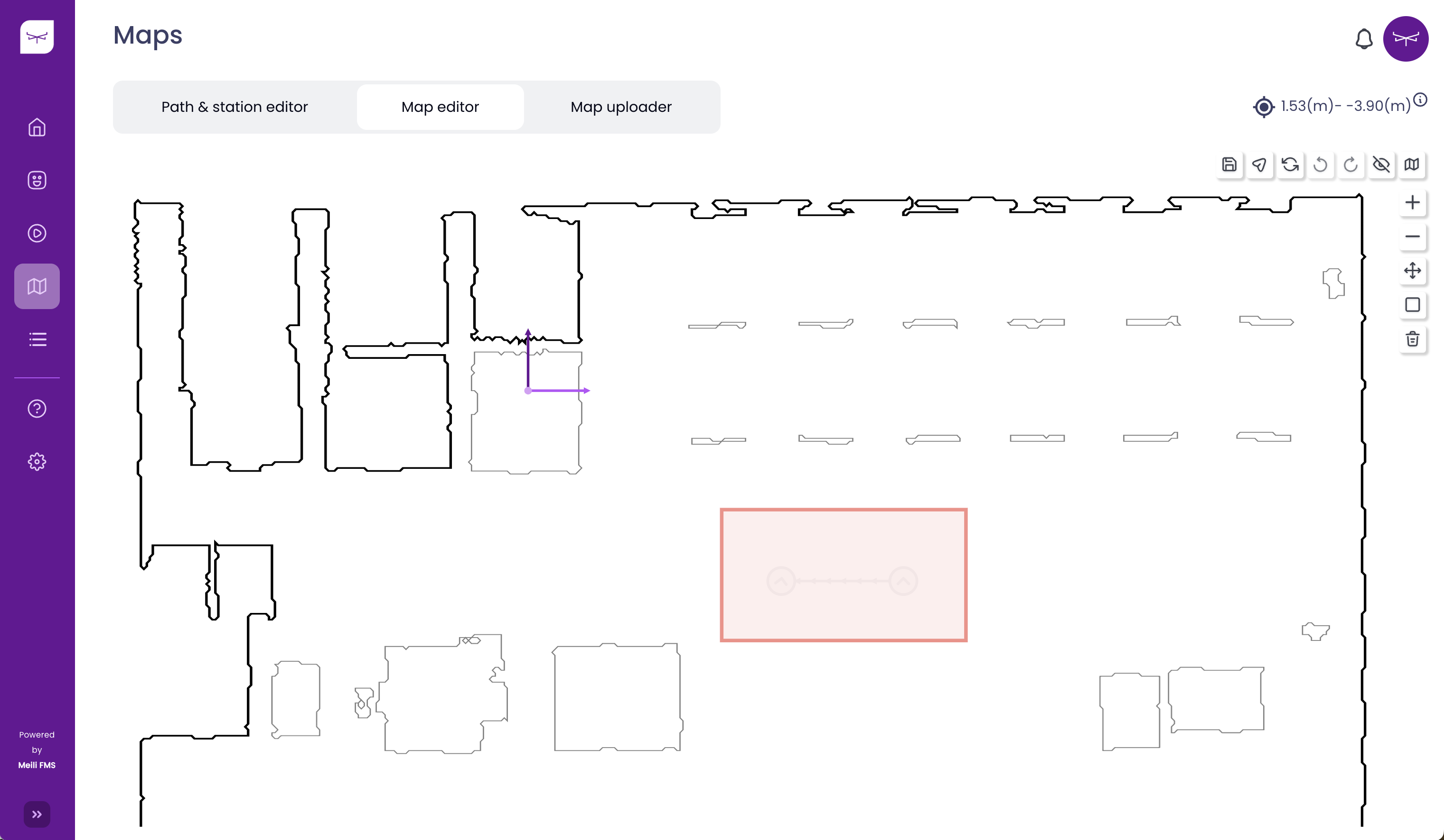
Create Forbidden zone #
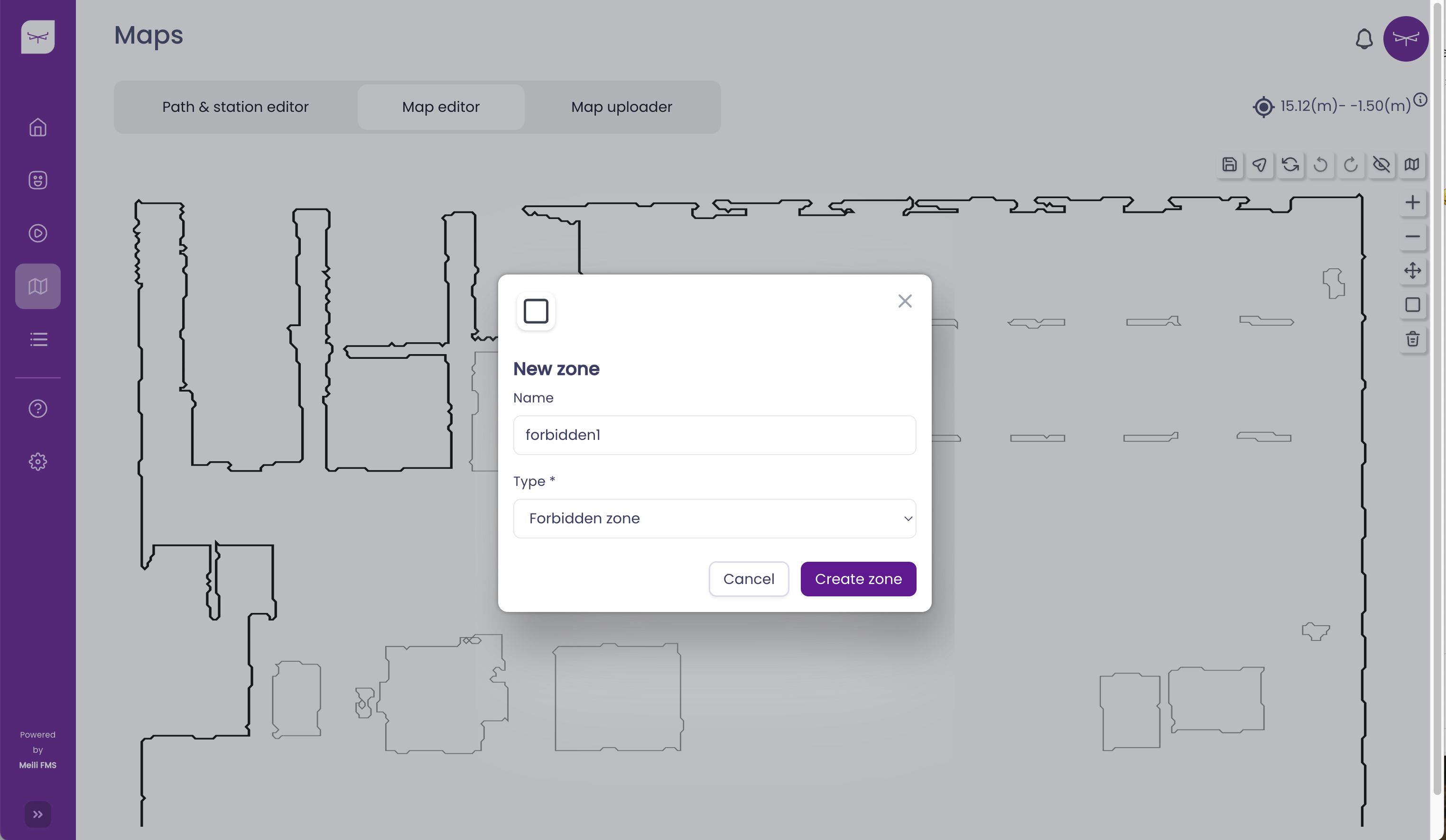
-
Drag and drop the red rectangle to define the forbidden zone
-
Elements inside the forbidden zone will be deactivated (stations and paths will become grey)
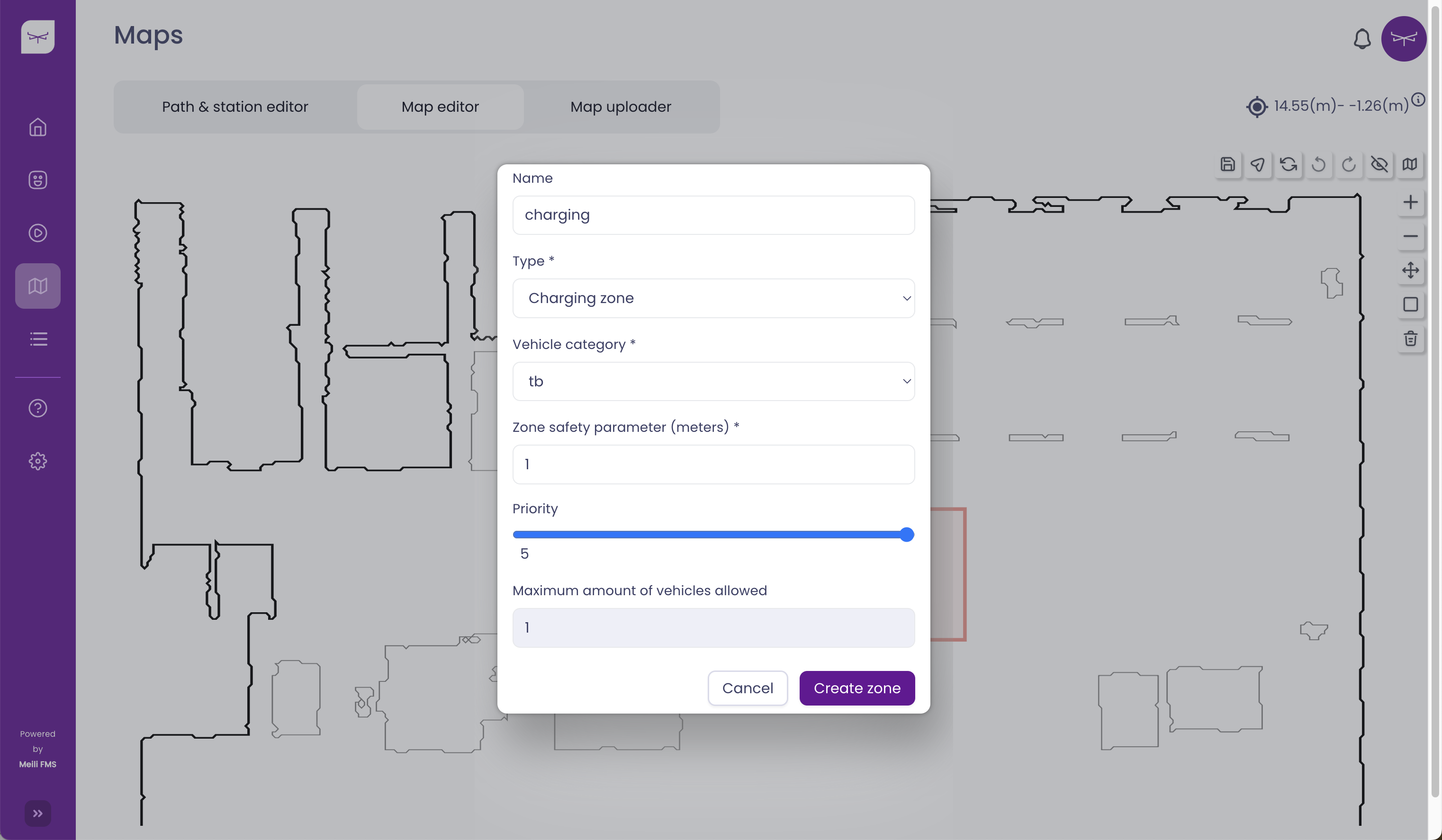
Create Resting/charging zones #
- In the dropdown for zone type, select resting zone or charging zone
-
Select the desired vehicle category and “zone safety parameter” (this increases the size of the created zone in addition to robot category dimensions)
-
[Optional] - Add priority to the zone (this will be considered on the task allocation level)
- Note
- If priority levels are set, the system will use them when the vehicle is sent to that type of zone, sending the vehicle to the specific zone of that type with the highest priority level (with 5 being the maximum value).
- Click on any empty point of the map (avoiding obstacles)
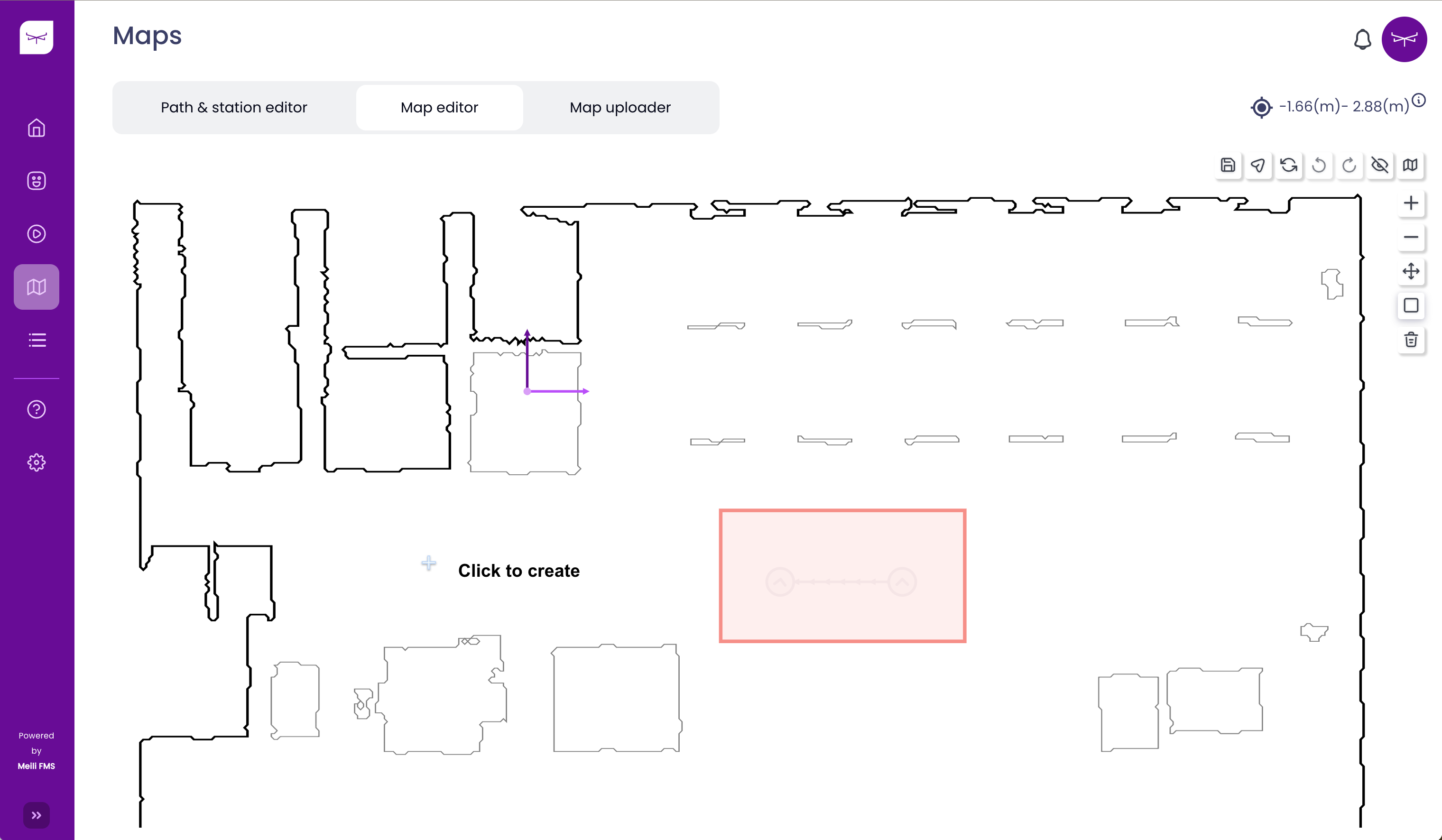
- The zone will be created at the clicked point with dimensions defined by the sum of the zone safety parameters and vehicle category dimensions.
- Note
- The clicked point needs to be with enough distance to any obstacle on the map in order to create the zone correctly.