Speed Limit Zones#
Speed Limit Zones are user-defined areas on the map where the speed of the vehicles is limited. Paths inside these zones will have their speed limit set to the value defined in the zone. This feature is useful when there are areas in the map where vehicles should drive at a lower speed, for example, in areas with high pedestrian traffic or in areas with sharp turns.
Zone creation#
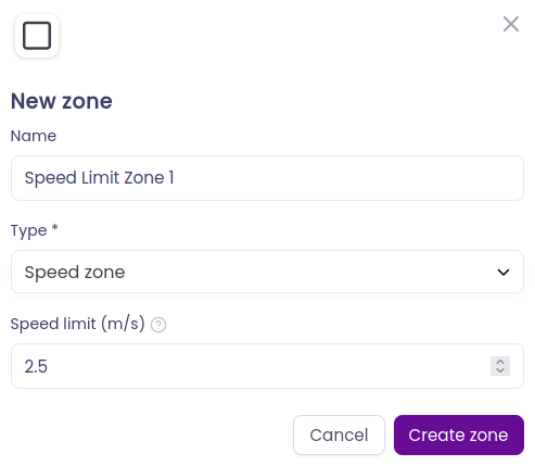
To create an speed limit zone go to Maps > Map editor, then select Add zones to map on the right side of the map (square symbol). Here a pop-up window allows you to select the type of zone that you want to add, in this case select Speed limit zone and place it on the map in the desired position.

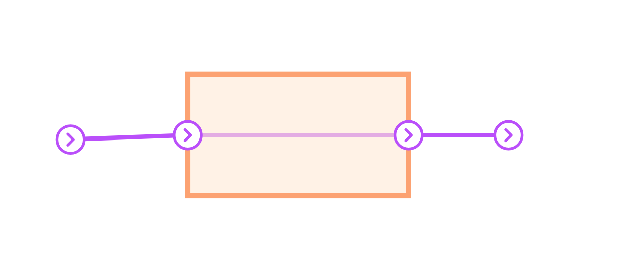
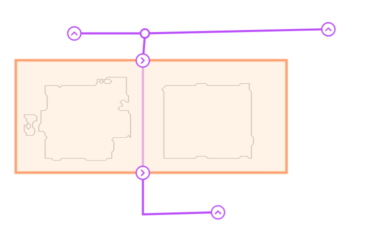
When a speed limit zone intersects a path, an entry and exit station will be automatically created at the intersection. These stations are used by the system to only apply the speed limit to the section of the path that is inside the speed limit zone.
Speed limit zone parameters#
There is only one parameter that is important when setting up a speed limit zone:
- Speed limit: the maximum speed that the vehicles can have inside the zone. This value is in meters per second. It can be modified at any time by clicking on the zone and changing the value in the pop-up window.

Speed limit zone functionality#
All the paths that were inside the speed limit zone when the zone was created will have their speed limit set to the value defined in the zone. If new paths are created and are inside the zone, or have a part of the path inside the zone, the speed limit will be applied to them as well.
Once the speed limit is deleted, the paths will have their speed limit set to the previous value.
Example of speed limit zone layouts#
